Geo Vision Surveying Inc
96 David Street Hagersville, Ontario, N0A 1H0About
Geo Vision Surveying Inc | Precision Geomatics & 3D Mapping
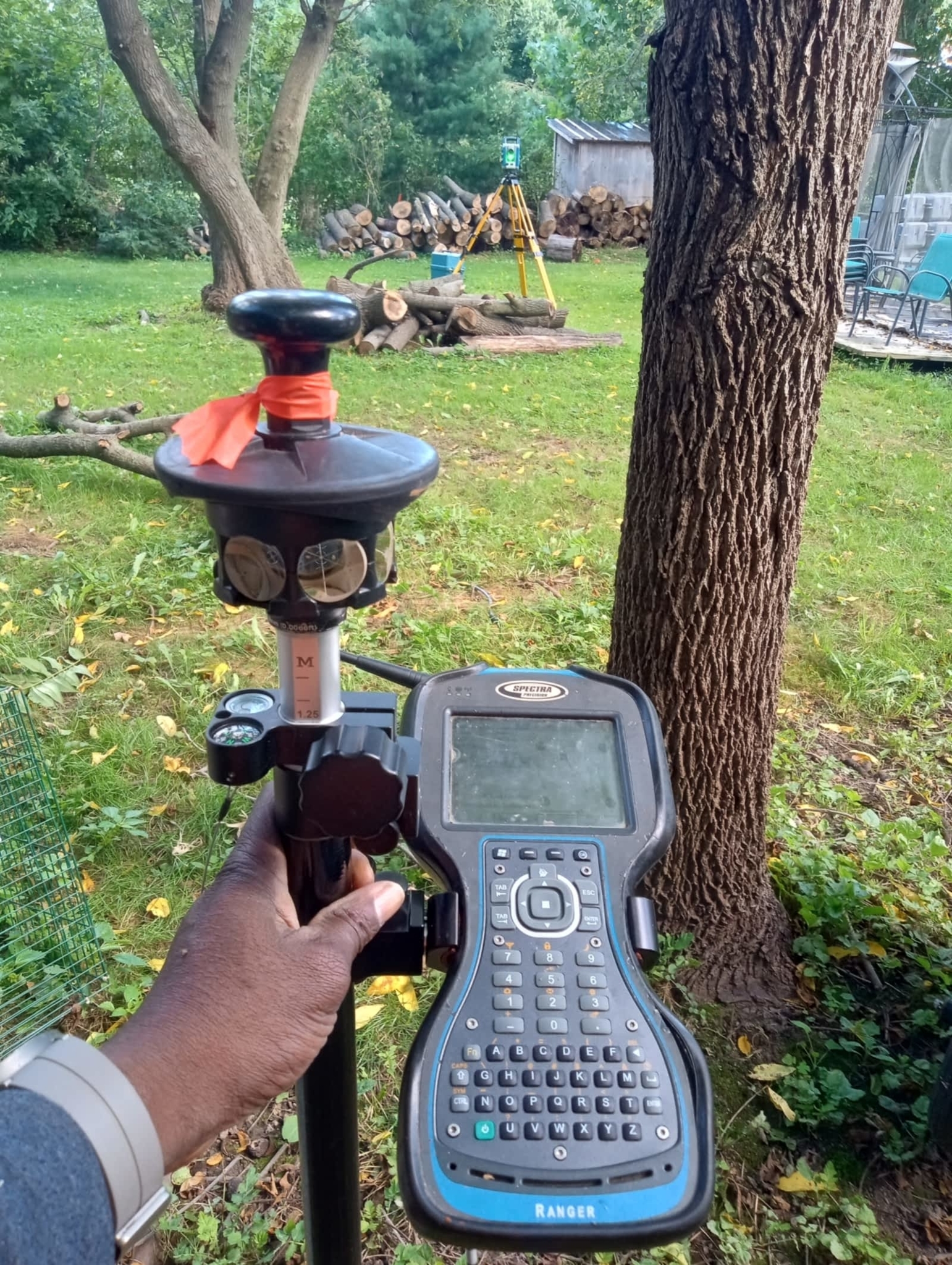
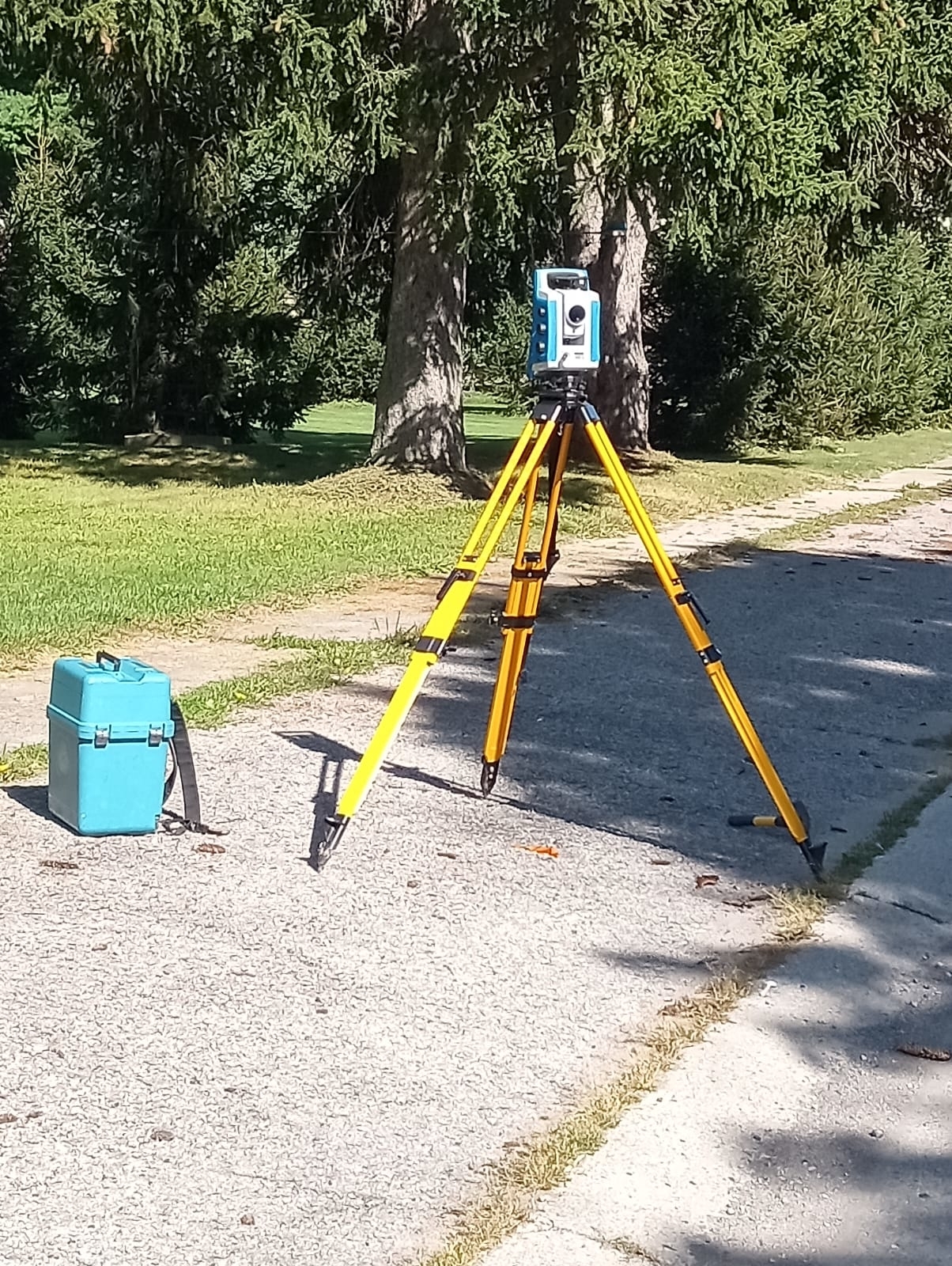
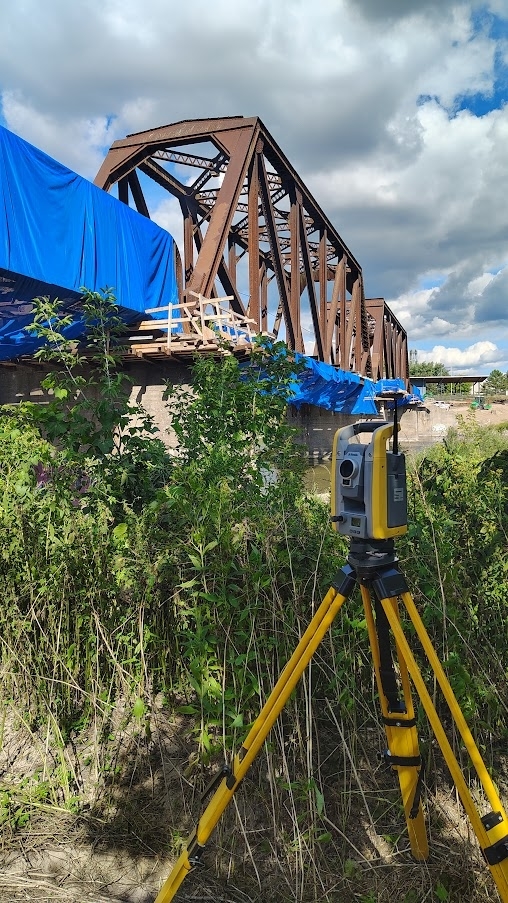
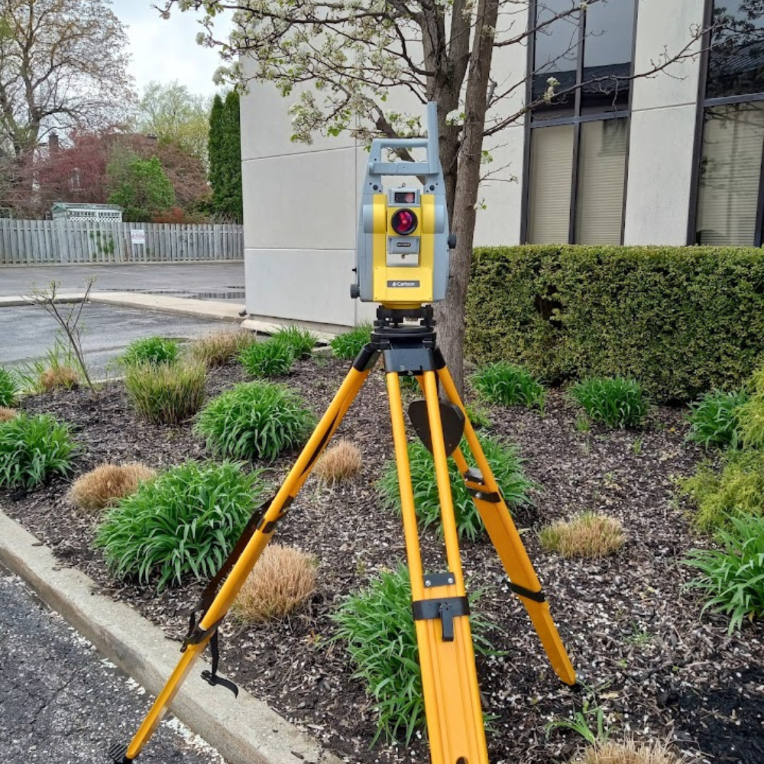
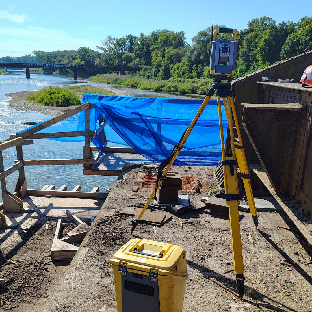
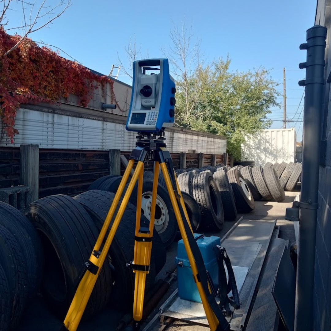
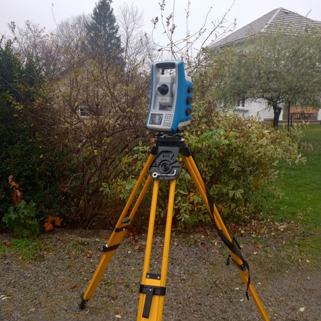
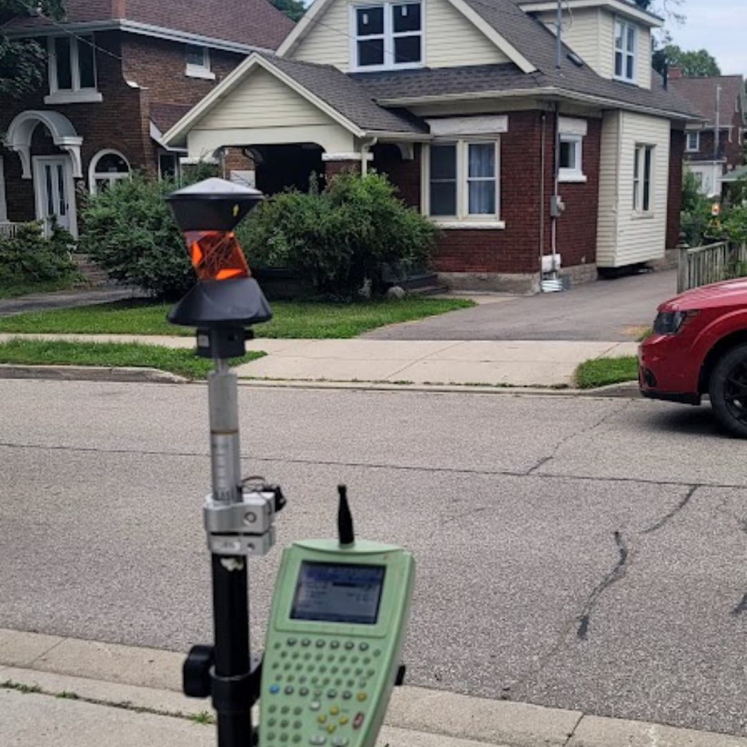
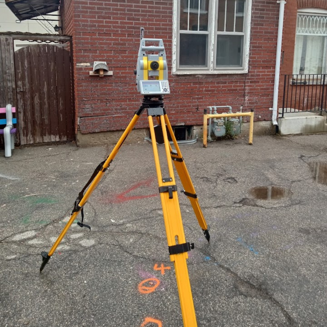
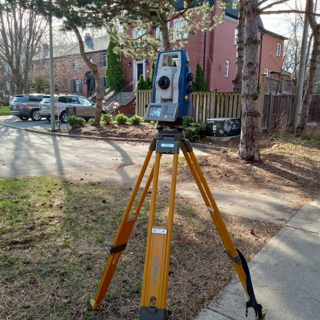
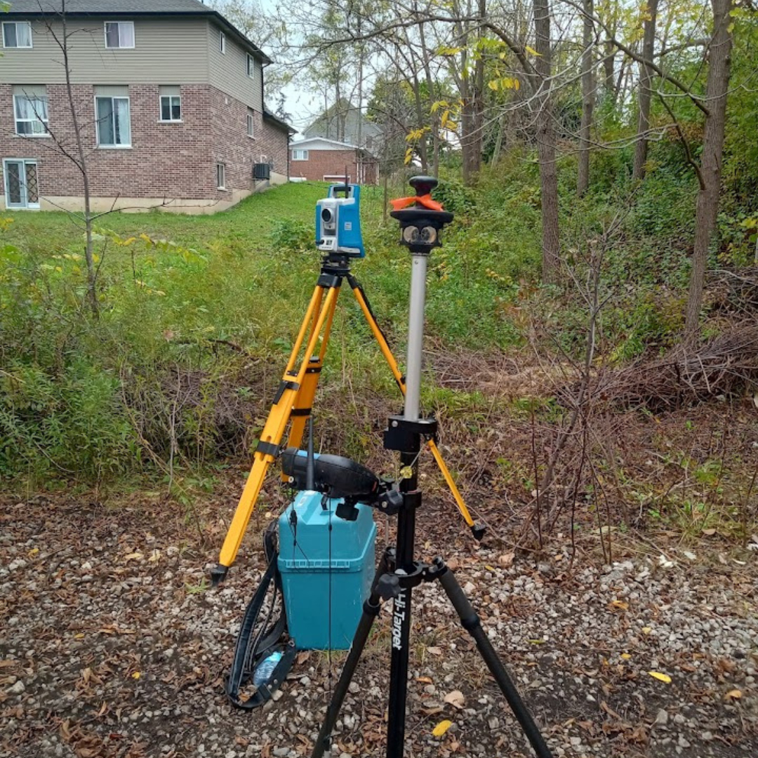
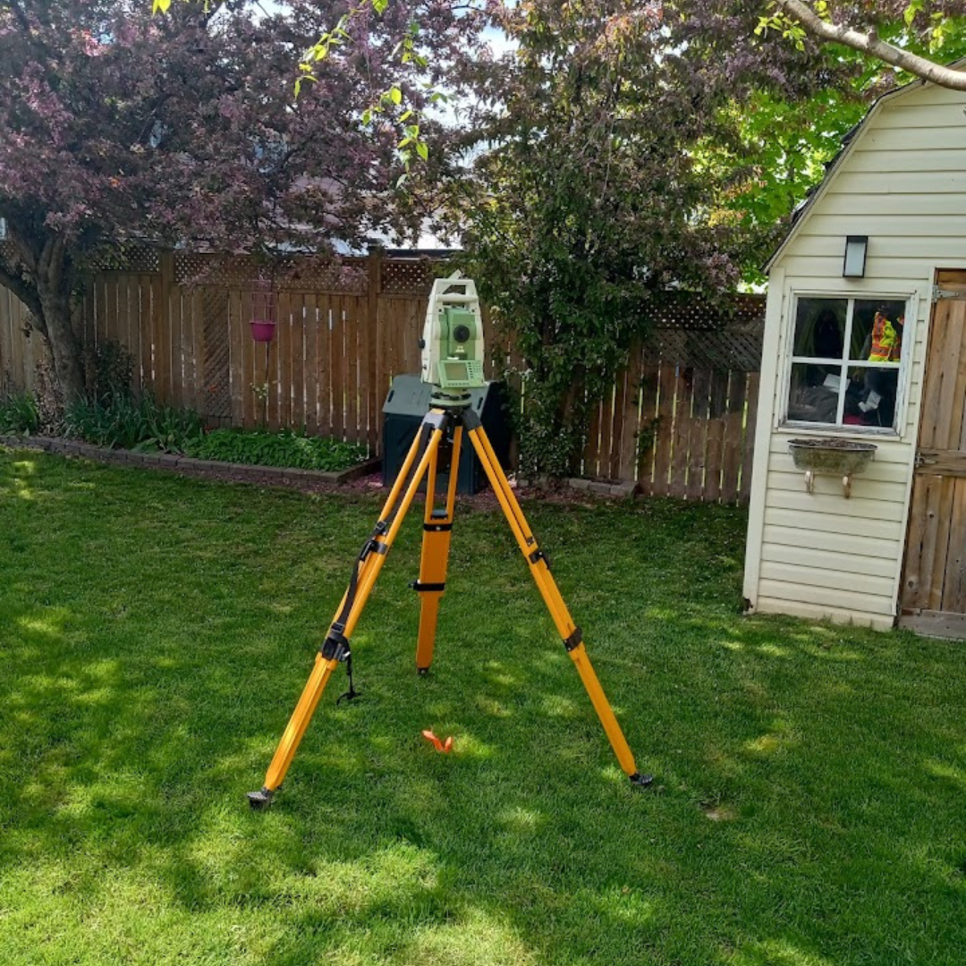
Build with confidence. Geo Vision Surveying Inc. provides elite technical mapping services backed by 28+ years of combined global expertise. We utilize the industry’s most advanced LiDAR, Drone, and Robotic Total Station technology to ensure "Precision in Every Point."
Our Specialized Services:
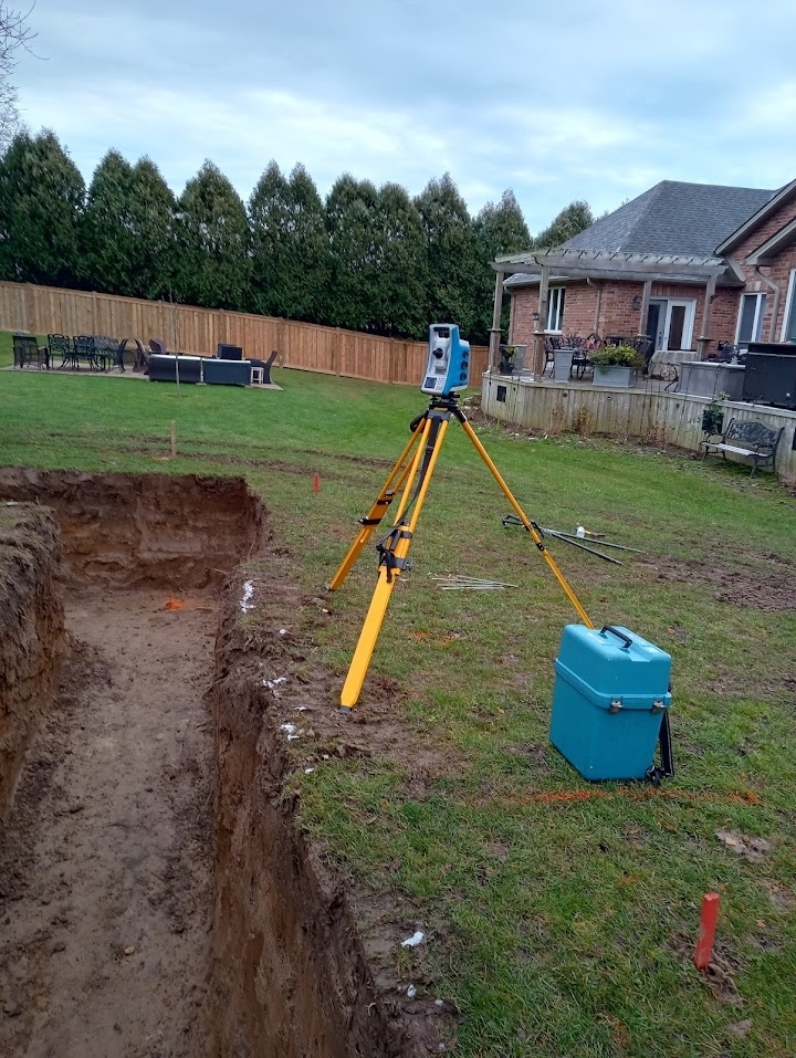
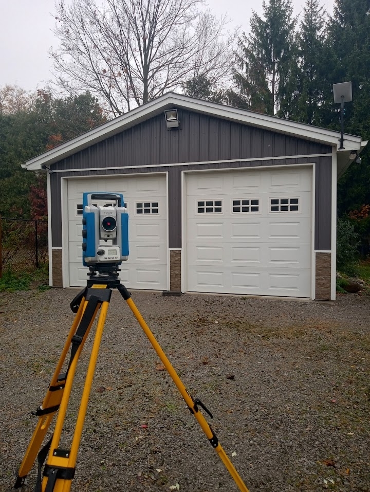
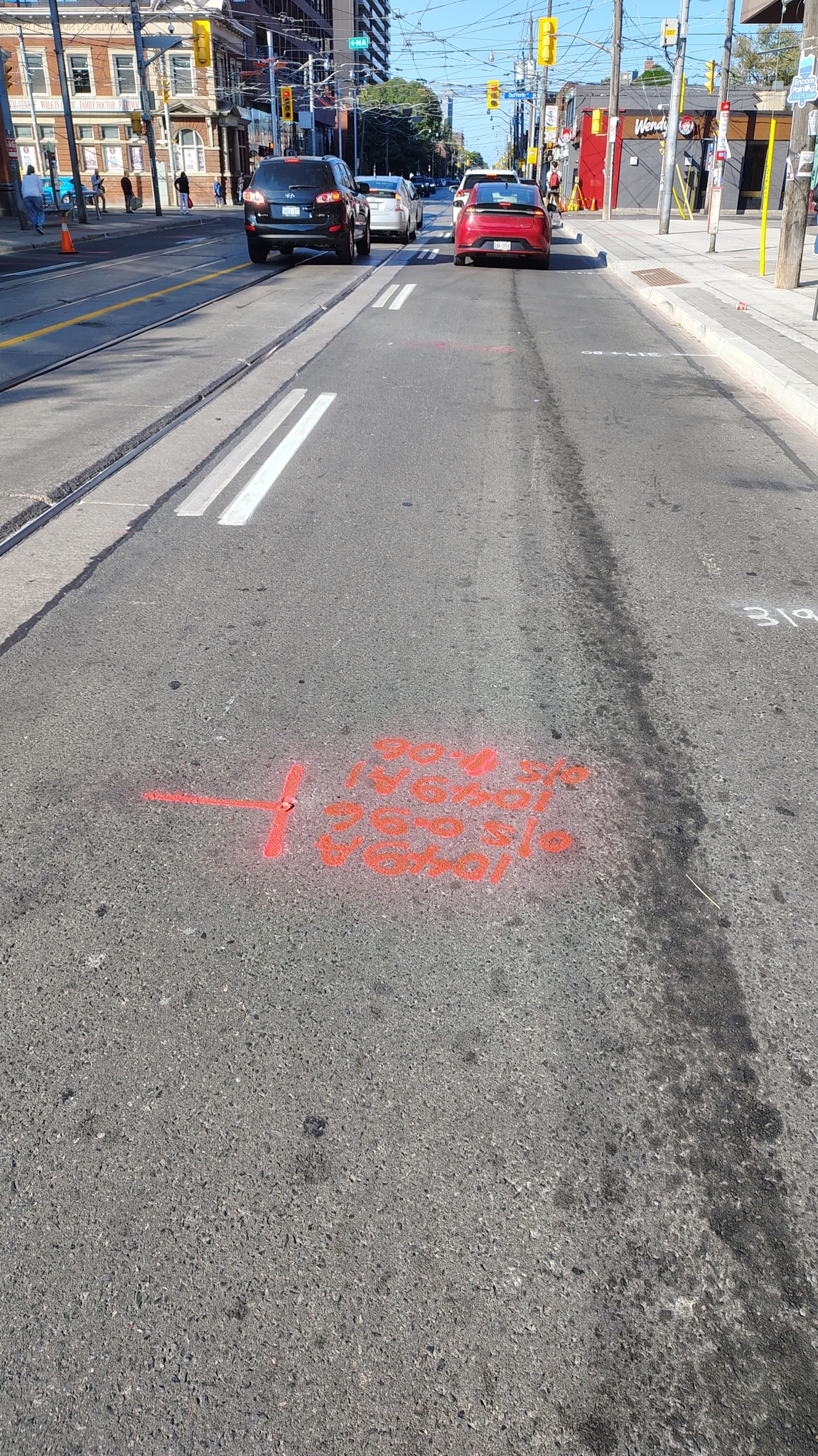
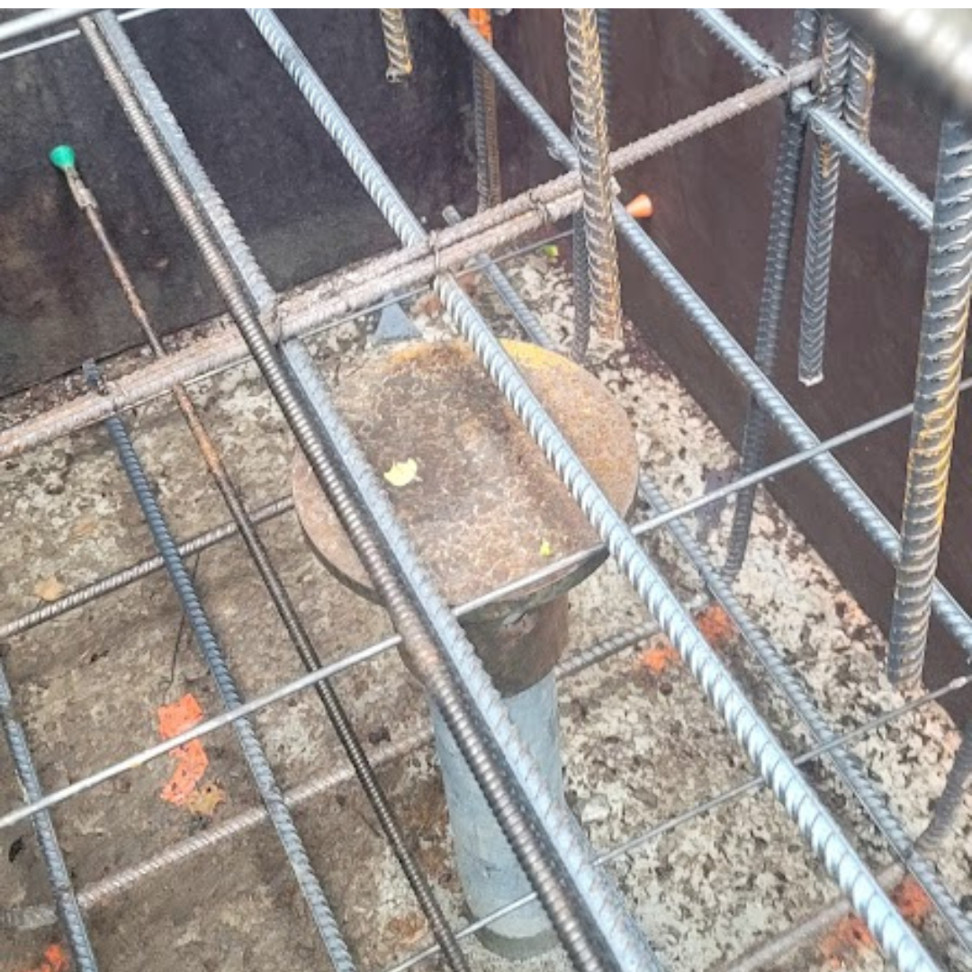
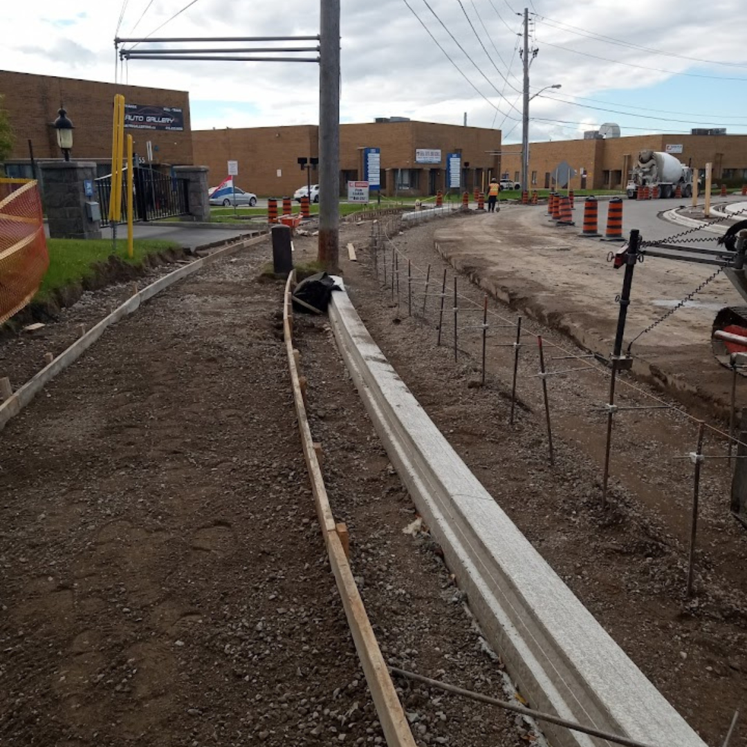
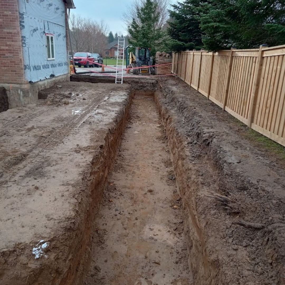
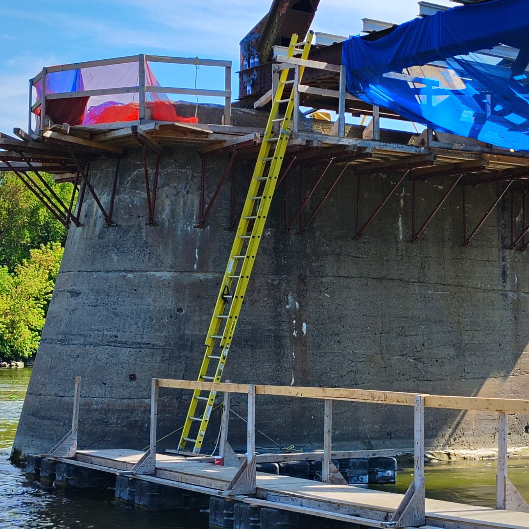
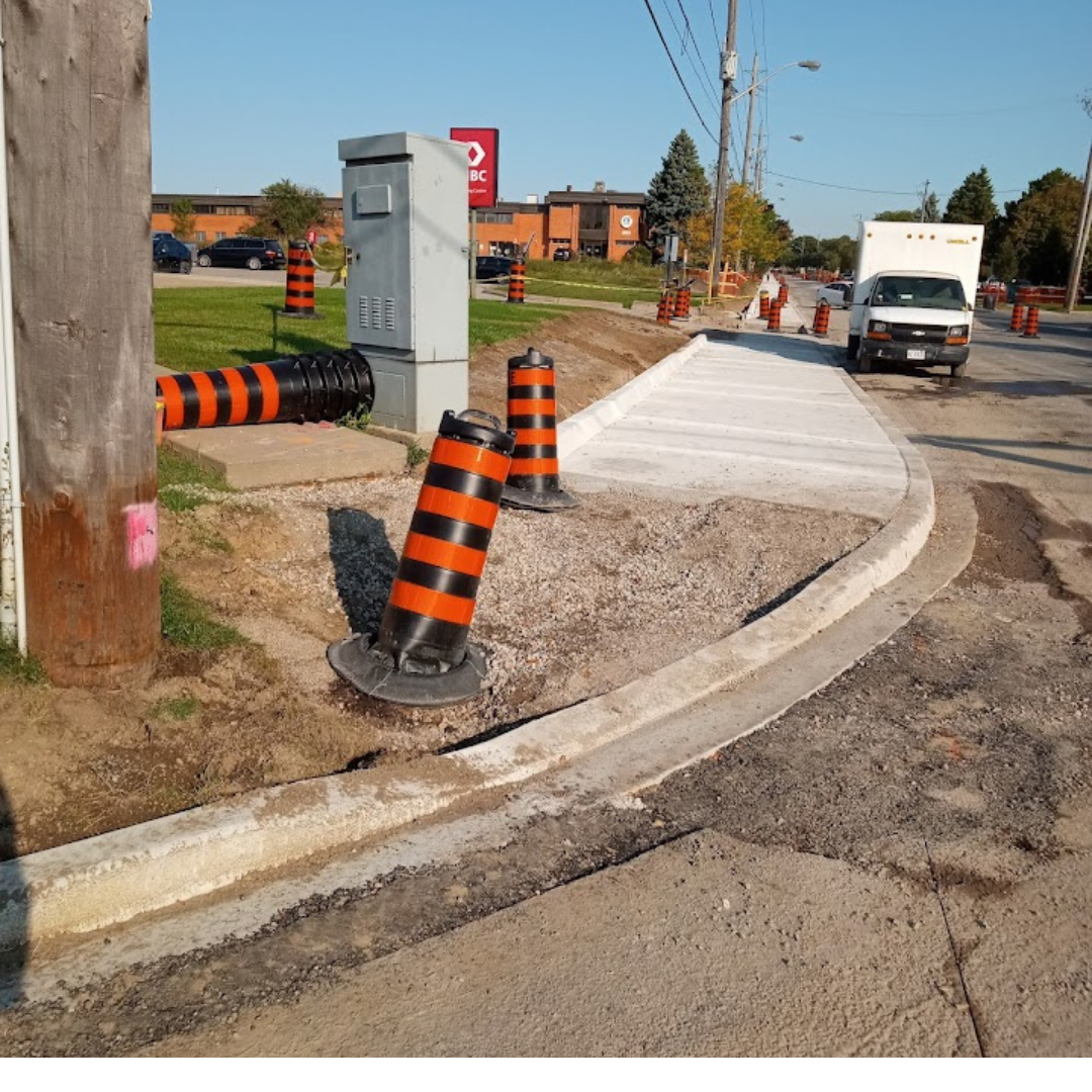
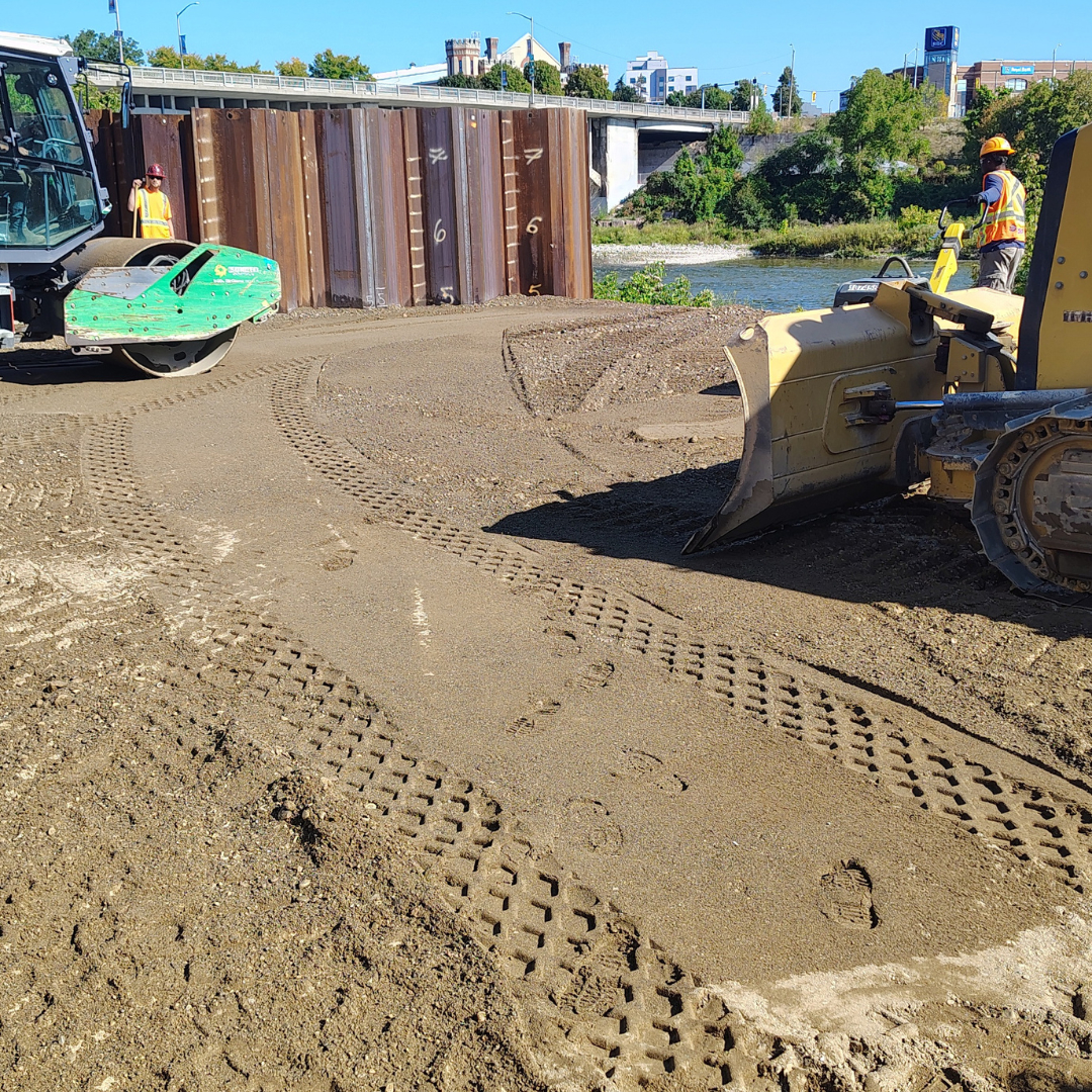
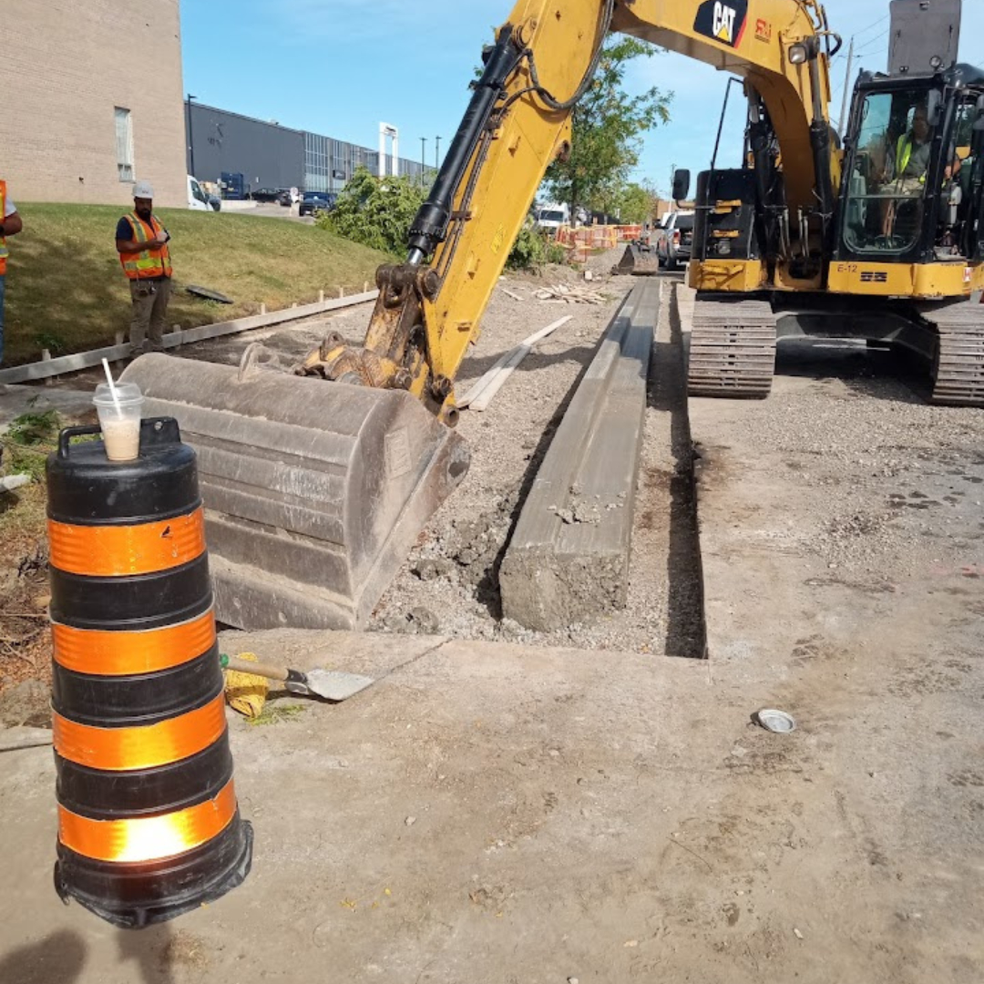
Construction Layout: High-accuracy staking for bridges, roads, and buildings.
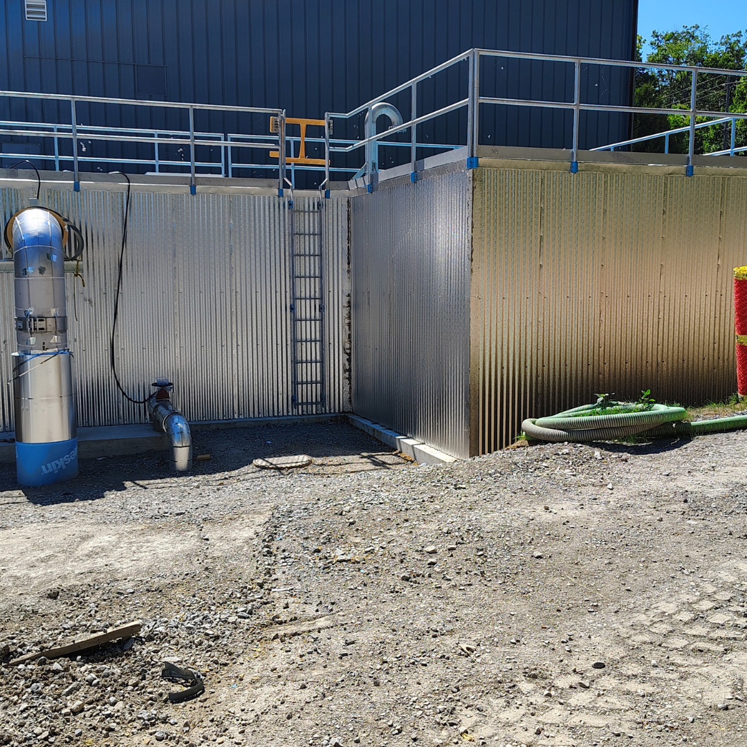
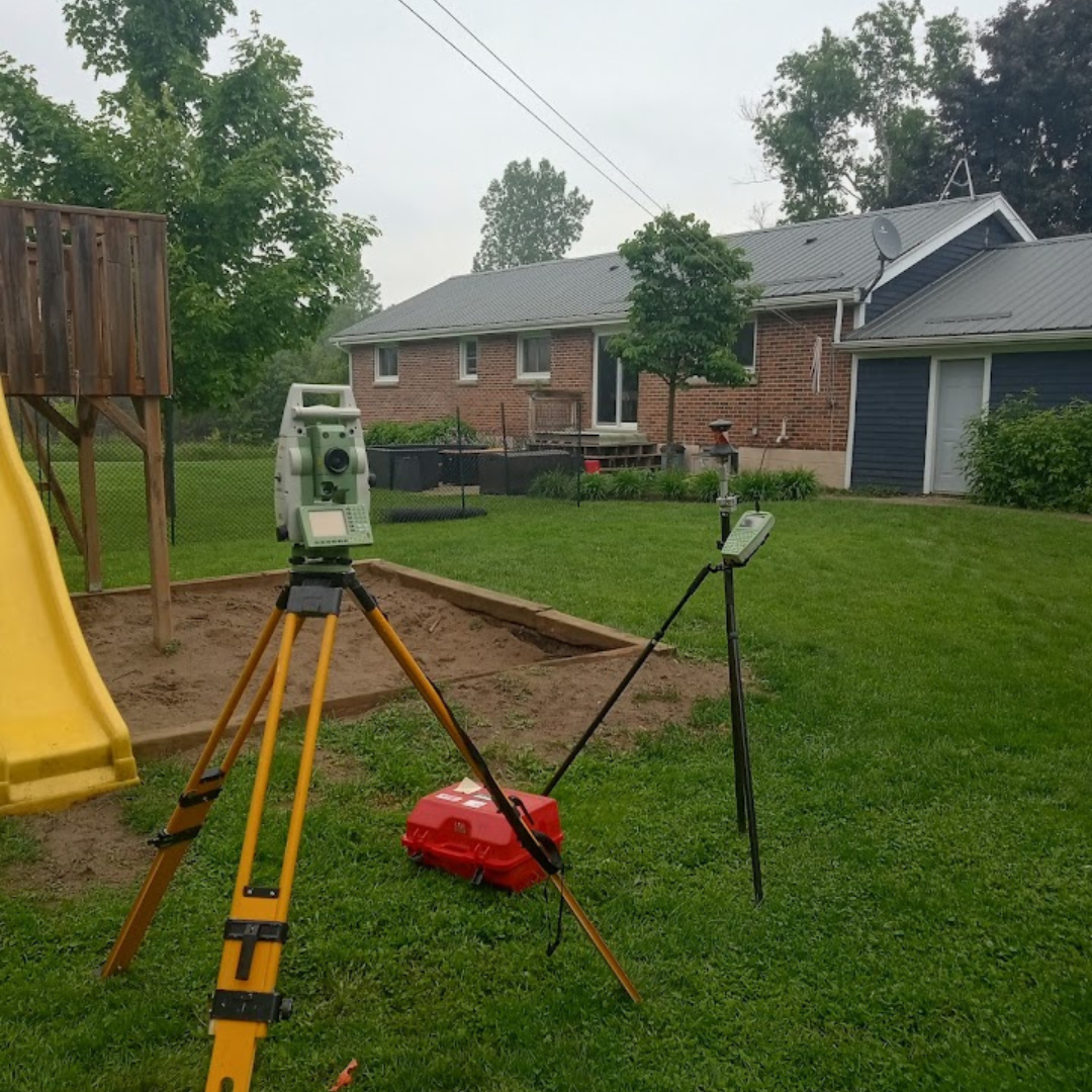
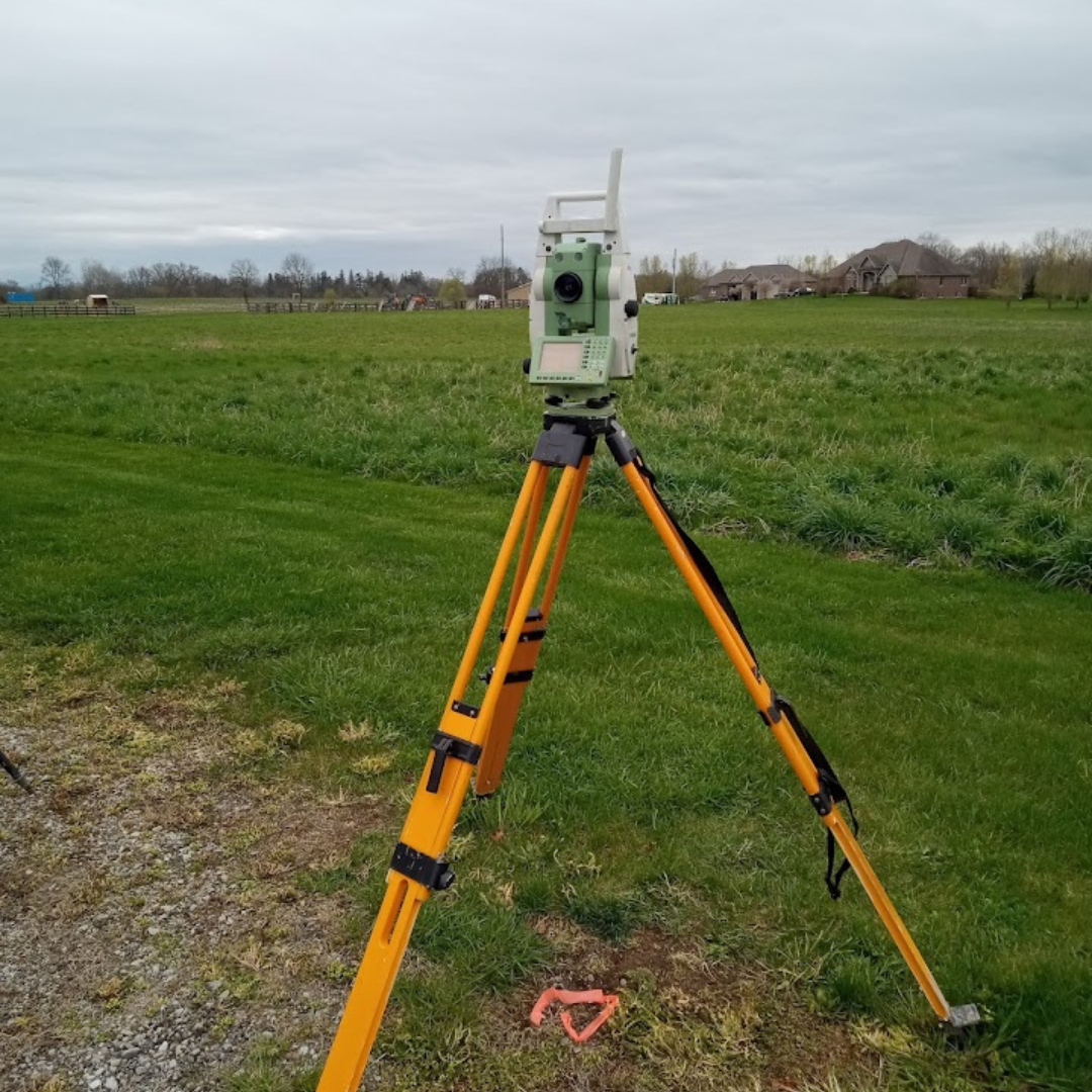
Topographic Mapping: Detailed site analysis for engineering and design.
3D LiDAR Scanning: High-density "Digital Twins" for industrial and BIM projects.
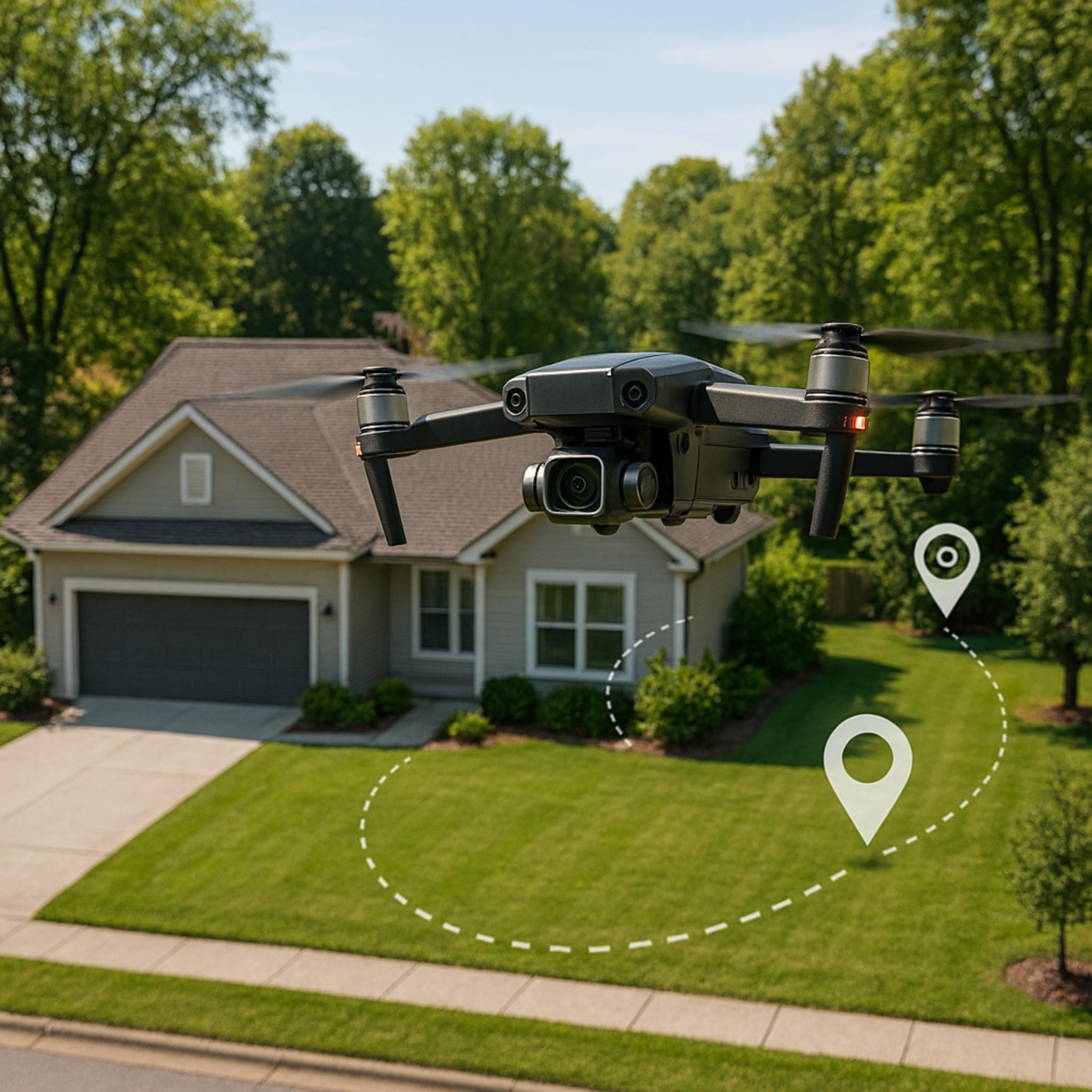
UAV Drone Mapping: Rapid aerial surveys and volumetric analysis.
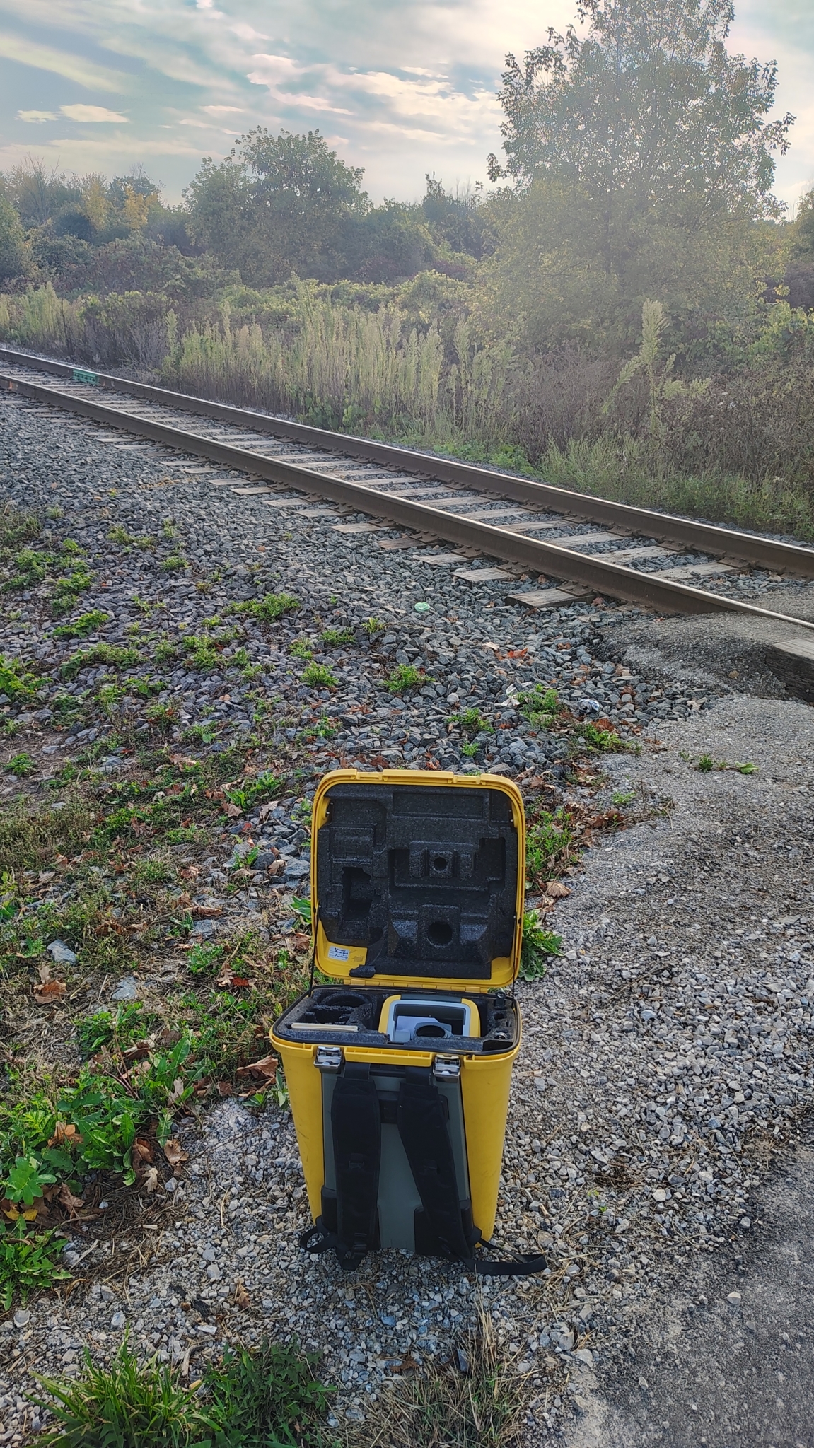
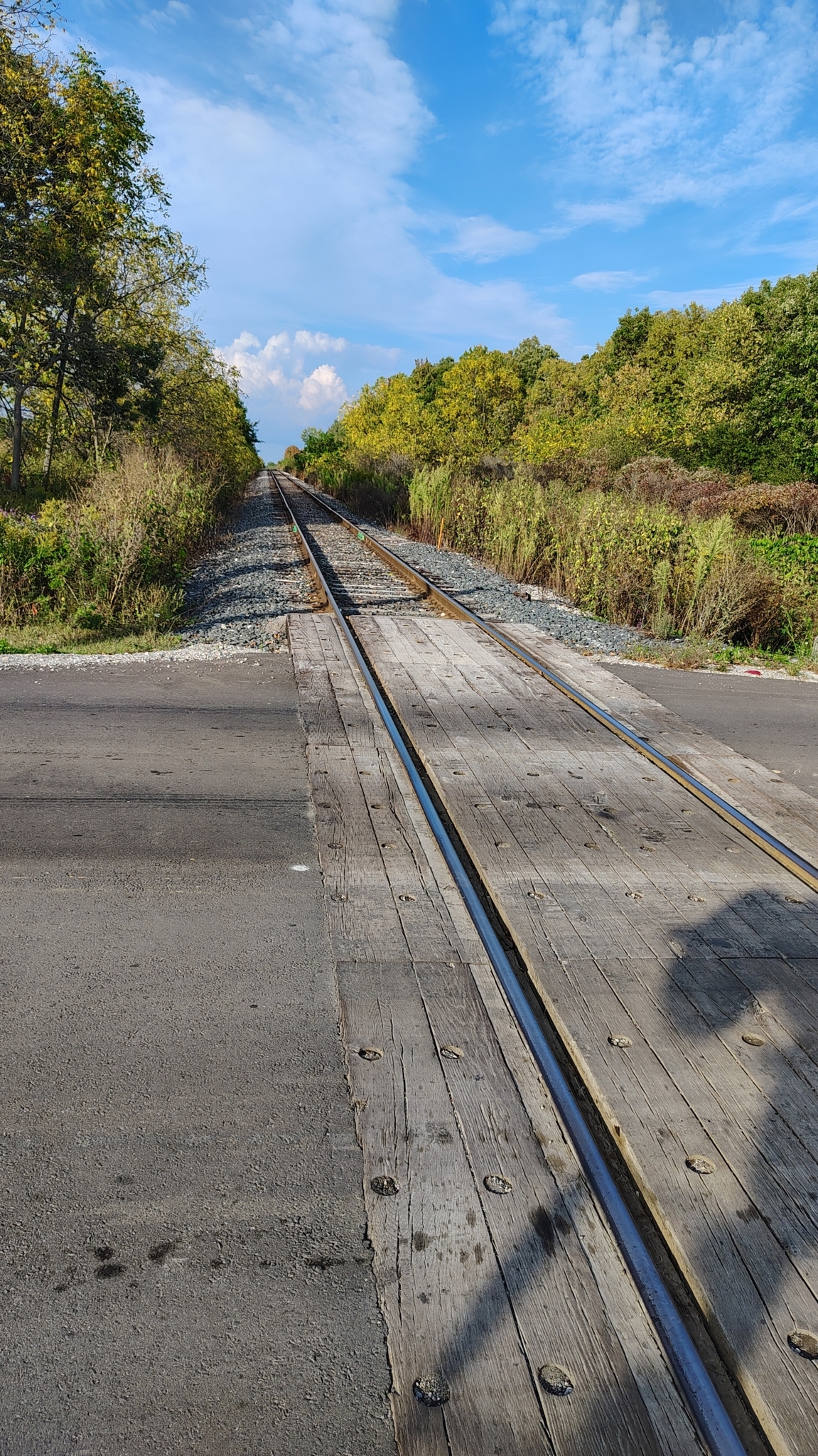
Railway Geomatics: Specialized track alignment and monitoring.
Serving: Hagersville, Hamilton, Brantford, Simcoe, Niagara, Brampton, and Toronto.
Geo Vision Surveying Inc specializes in technical geomatics
Images