Schedules
Closed Bank holidays
M-F 9am-5pm, Sa-Su Closed (Closed Bank holidays)
Attention business owner!
Register your business now and enhance your global reach with iGlobal.
Start now!
About

WELCOME TO RYDER GEOSPATIAL
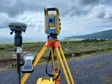
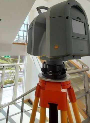
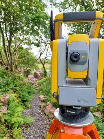
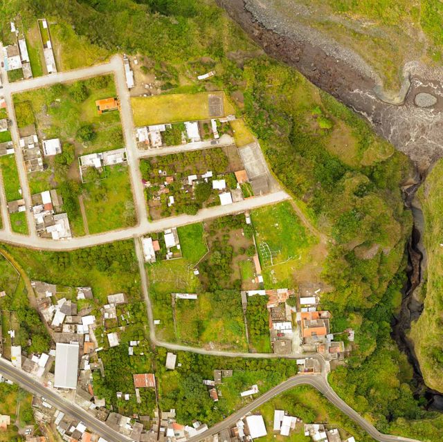
Located in Mayo, Ryder Geospatial is a surveying and mapping company that offer quality surveying and mapping services to clients in Ireland and the United Kingdom. We employ a team of highly experienced and professional land surveyors who have experience in a wide range of survey solutions.


Our core aim at Ryder Geospatial, is to provide clients with geospatial surveying excellence by providing knowledgeable services which combines our years of experience and technical knowledge. Our focus is always on our client’s requirements, and meeting them to the best of our abilities. We work hand-in-hand with customers to provide the best survey solution for their needs, ensuring that they receive the information they require in a timely and economical fashion.

Images
Frequently Asked Questions
When was Ryder Geospatial founded?
Ryder Geospatial was founded in 2021.
Which days is Ryder Geospatial open?
Open on Monday, Tuesday, Wednesday, Thursday, Friday.
What languages does Ryder Geospatial specialize in?
English.
What are Ryder Geospatial specialties?
TOPOGRAPHIC SURVEYS, MEASURED BUILDING SURVEYS, LEGAL MAPPING | BOUNDARY SURVEYS.
What are Ryder Geospatial main services?
TOPOGRAPHICAL SURVEYS, MEASURED BUILDING SURVEYS, LEGAL MAPPING | BOUNDARY SURVEYS, ENGINEERING SURVEYING, AERIAL MAPPING | INSPECTION | IMAGERY, BIM | 3D MODELING, REALITY CAPTURE, LASER SCANNING, HYDROGRAPHIC SURVEYING, MONITORING SURVEYS, UTILITY SURVEYS | UNDERGROUND MAPPING, CONSULTATION | EDUCATION.
Attention business owner!
Register your business now and enhance your global reach with iGlobal.
Start now!
Schedules
Closed Bank holidays
M-F 9am-5pm, Sa-Su Closed (Closed Bank holidays)
Attention business owner!
Register your business now and enhance your global reach with iGlobal.
Start now!
Copied to clipboard!