yext
SkyShield Roofing and Solar LLC Owner verified
112 Grange Cross Ln Egg Harbor Township, NJ, 08234-8304Last time updated: 4/25/26, 2:22 PM
About
At SkyShield Roofing and Solar LLC, we specialize in high-quality roofing services in New Jersey, solar installation in Egg Harbor Township, and energy-efficient heat pump solutions. With over 13 years of experience, we focus on transparency, competitive pricing, and exceptional customer service. We offer free roof inspections and are committed to providing sustainable solar solutions for homeowners looking to enhance their energy efficiency.
Images
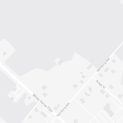
A light gray map with street names labeled. The street names visible are "White Horse Pike", "Hamburg Ave", and "Arago St". The map shows a simplified representation of roads and buildings.
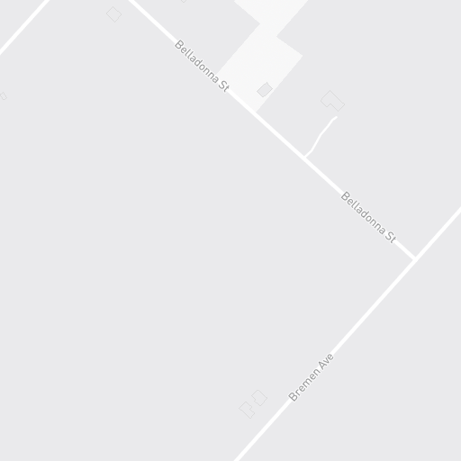
A map interface showing "Belladonna St" and "Bremen Ave" with faint outlines of buildings.
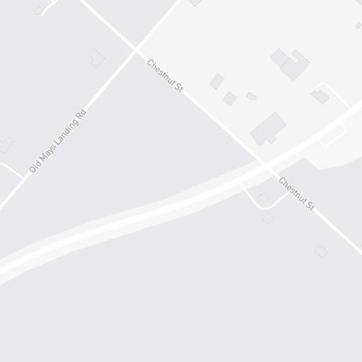
A minimalist map shows a section of road with street names and simplified building outlines. The road is labeled 'Old Mays Landing Rd' and 'Chestnut St'.
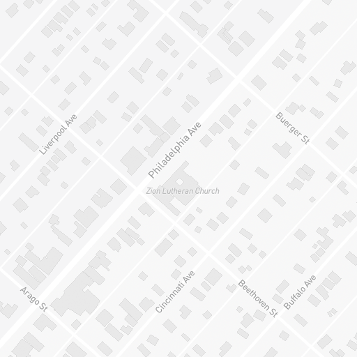
A minimalist map displaying a neighborhood with street names and a church building. The map shows various streets like Liverpool Ave, Philadelphia Ave, Buerger St, Arago St, Cincinnati Ave, Beethoven St, and Buffalo Ave. The Zion Lutheran Church is prominently marked on Philadelphia Ave.
A minimalist map shows roads and buildings in a pale gray and white color scheme. The street name "Chestnut St" is visible on the lower left side of the image. The map appears to be a stylized representation of an urban or suburban area, with simplified building outlines and road networks.
A map showing two streets, Crocus St and New Orleans Ave, with small representations of buildings along them.
A grayscale map showing street names like New Orleans Ave, Aloe St, and Belladonna St, with simple block outlines representing buildings. The map is rendered in a minimalist, schematic style.
A map of Old Mays Landing Road with various intersections and roads highlighted in white against a gray background. The map includes small square icons, possibly indicating buildings or points of interest.
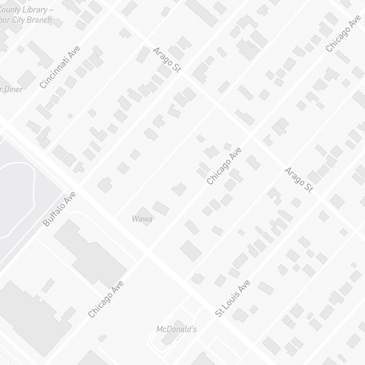
A grayscale map shows an aerial view of a city neighborhood with street names and building outlines. Notable landmarks include a "County Library - Harbor City Branch," a "Diner," a "Wawa," and a "McDonald's." The map displays streets like Cincinnati Ave, Arago St, Chicago Ave, Buffalo Ave, and St Louis Ave, with numerous small buildings and residences indicated by gray rectangles.
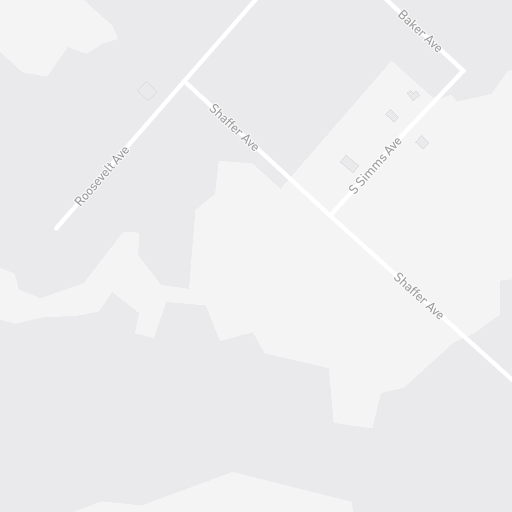
A minimalist, light gray map displaying street names. The streets visible are Roosevelt Ave, Shaffer Ave, S Simms Ave, and Baker Ave. Small, white square icons are present, suggesting buildings or points of interest.

Image from website
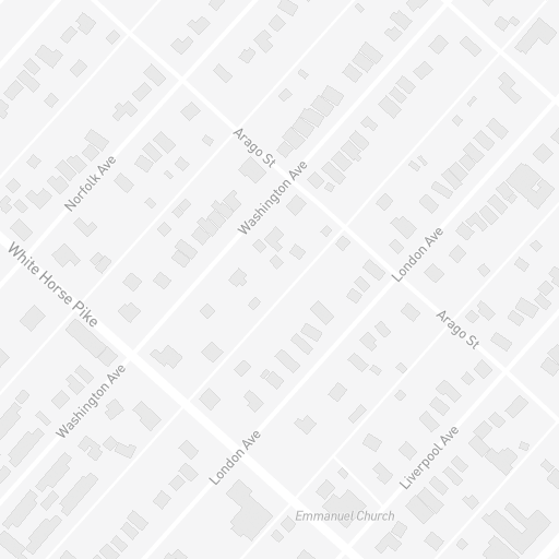
A grayscale map showing a neighborhood with street names and building outlines. Key streets include White Horse Pike, Norfolk Ave, Washington Ave, Arago St, and London Ave. A building labeled 'Emmanuel Church' is also visible.
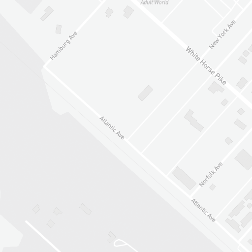
A grayscale map shows street names like Hamburg Ave, Atlantic Ave, White Horse Pike, and New York Ave, with simplified building outlines. Another street labeled Norfolk Ave is also visible. The text 'Adult World' is present near the top right.
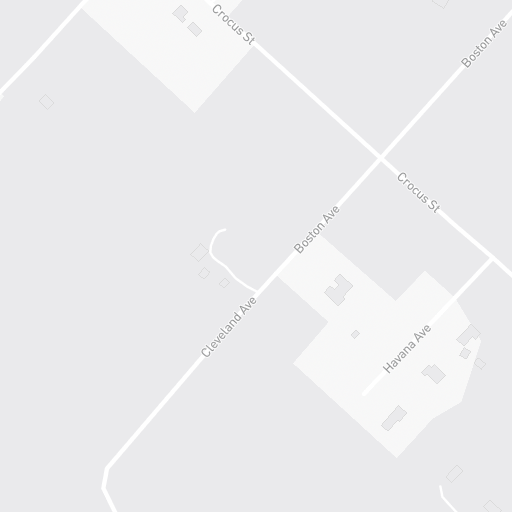
A minimalist map shows roads and buildings with street names like Crocus St, Boston Ave, Cleveland Ave, and Havana Ave. The map is rendered in shades of gray, with white lines indicating roads and small gray squares representing buildings.
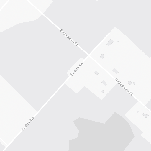
A minimalist, light gray map showing intersecting streets labeled 'Belladonna St' and 'Boston Ave', with small, light gray rectangles indicating buildings. The map is rendered in a schematic style with minimal detail.
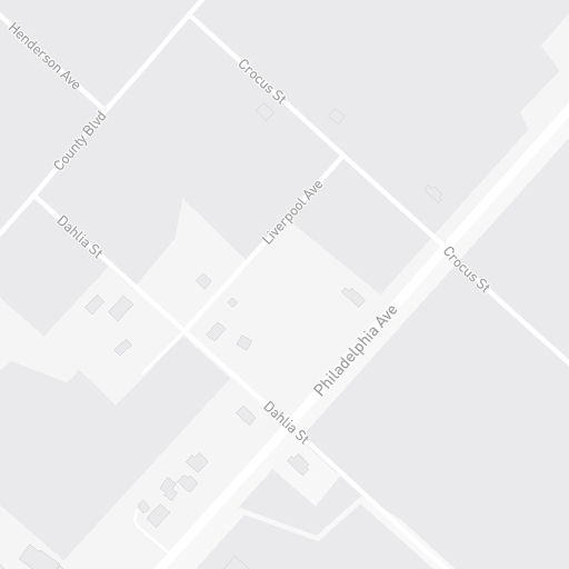
A minimalist, grayscale map showing street names and building outlines. The map displays several intersecting streets including Henderson Ave, County Blvd, Dahlia St, Crocus St, Liverpool Ave, and Philadelphia Ave. Small, simple square shapes represent buildings or lots.
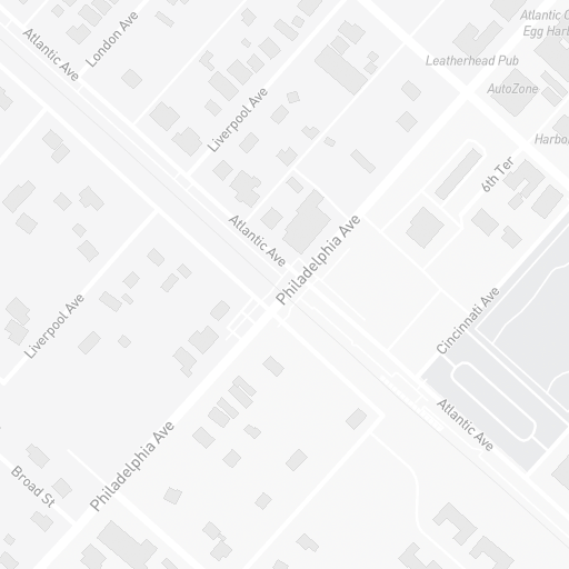
A grayscale map shows a street grid with various street names such as Atlantic Ave, London Ave, Liverpool Ave, Philadelphia Ave, and Cincinnati Ave. Several buildings are depicted as gray rectangles. A few labels are visible, including 'Leatherhead Pub', 'AutoZone', 'Harbo', and '6th Ter'.
A minimalist, monochromatic map showing various streets including Aloe St, Cleveland Ave, County Blvd, London Ave, Broad St, and Dekalb St. Small, simplified building icons are scattered across the map, indicating a residential or urban area.
A simplified, grayscale map shows roads and a few building outlines. The roads are labeled 'Buffalo Ave', 'Cape May Ave', and 'Crocus St'. The map appears to depict a residential or semi-rural area with minimal detail.
A grayscale map shows streets and buildings. The streets labeled include St. Louis Ave, Atlantic Ave, Boston Ave, Havana Ave, and Aloe St. One building is labeled as Saraceno Funeral Home and another as Red Barn.
A stylized, minimalist map of a town with street names like Cincinnati Ave, Buffalo Ave, Main St, Cape May Ave, North St, Aloe St, Chicago Ave, Central Ave, Cohanzey Ave, and Amaranth St. Small rectangular shapes represent buildings. The map uses a limited grayscale color palette.
A map showing the intersection of Shaffer Ave, Lincoln Ave, and County Blvd. The map displays a simplified representation of roads and buildings in a grayscale color scheme.
A grayscale map displays street names such as County Blvd, Liverpool Ave, Empire Ave, South Egg Harbor Volunteer Fire Company, Philadelphia Ave, Asbury Ave, Belladonna St, Barnegat Ave, Jefferson Ave, Rene Ave, and Cincinnati Ave. Several small, light gray squares represent buildings.

A man is shown near a propane tank and a generator. The generator is black with blue accents and has
A logo for 'SkyShield Roofing and Solar' is displayed against a white background. The logo features a shield emblem on the left, containing a green landscape with a sunburst and blue solar panels. To the right of the shield, the words 'SkyShield' are written, with 'Sky' in blue and 'Shield' in black. Below this, 'Roofing and Solar' is written in smaller black text.
Frequently Asked Questions
What associations does SkyShield Roofing and Solar LLC have?
GAF certified contractor.
When was SkyShield Roofing and Solar LLC founded?
SkyShield Roofing and Solar LLC was founded in 2010.
What languages does SkyShield Roofing and Solar LLC specialize in?
English.
What brands does SkyShield Roofing and Solar LLC work with?
GAF.
What are SkyShield Roofing and Solar LLC main services?
Roofing, Solar Installation, Heat Pumps, Free Roof Inspections, Energy Solutions.
Attention business owner!
Register your business now and enhance your global reach with iGlobal.
Copied to clipboard!