
yext
Sentry Mapping Owner verified
11006 Covington Way Oxford, MS, 38655
Last time updated: 1/30/26, 2:53 AM
About
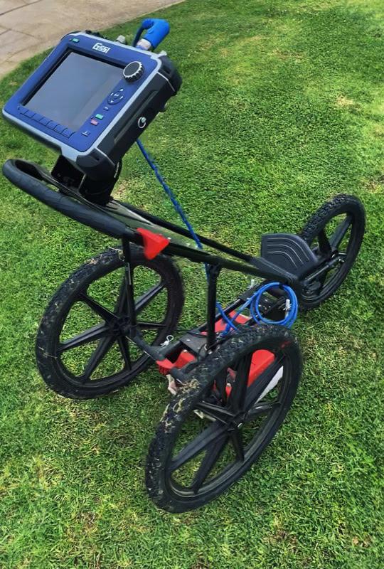
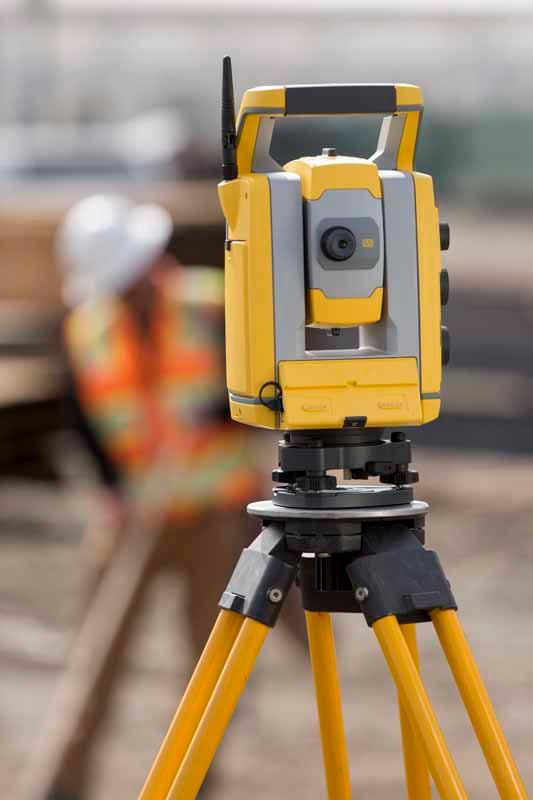
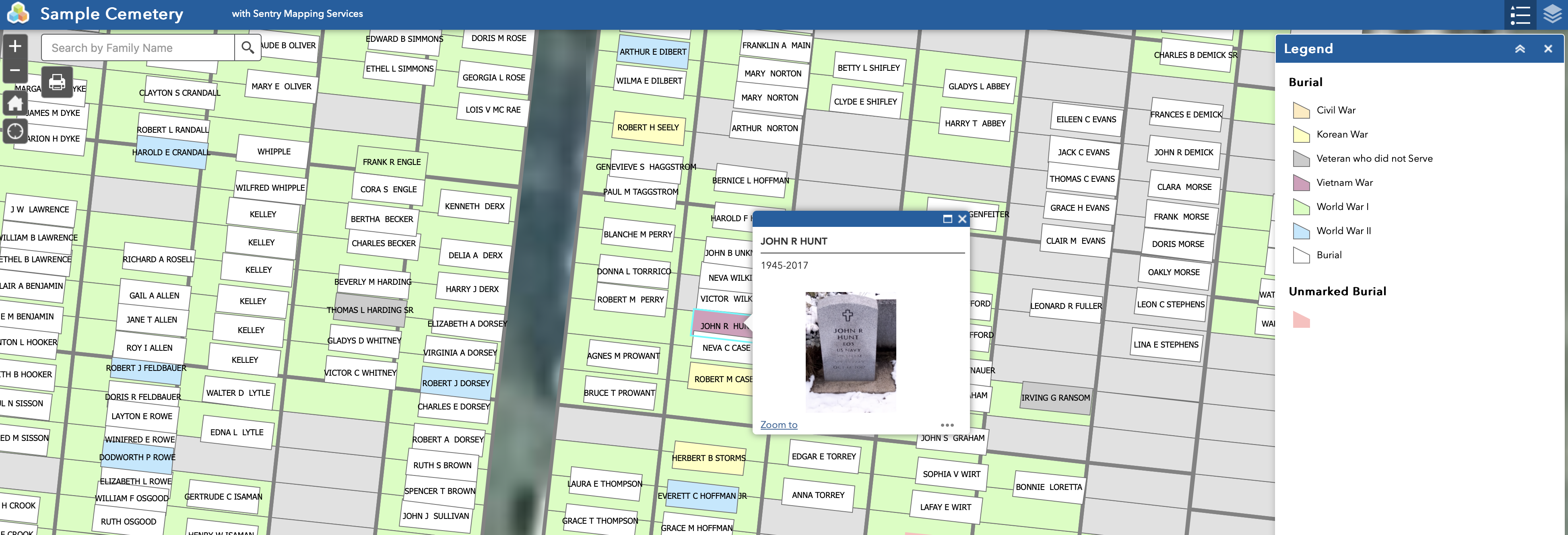
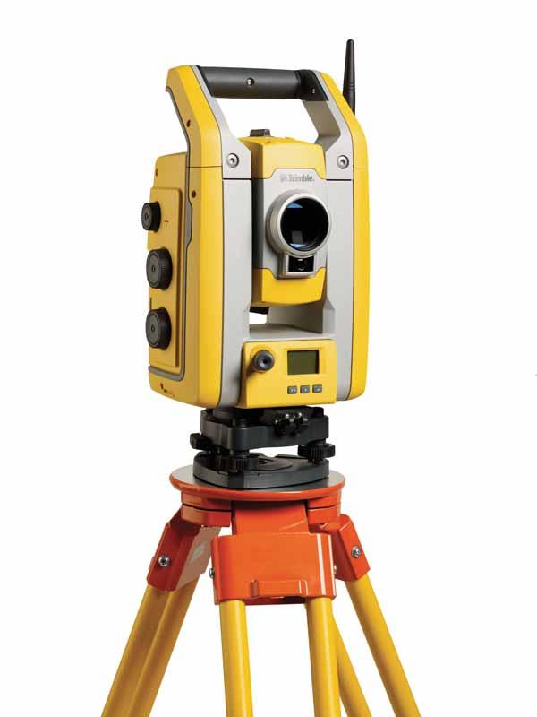
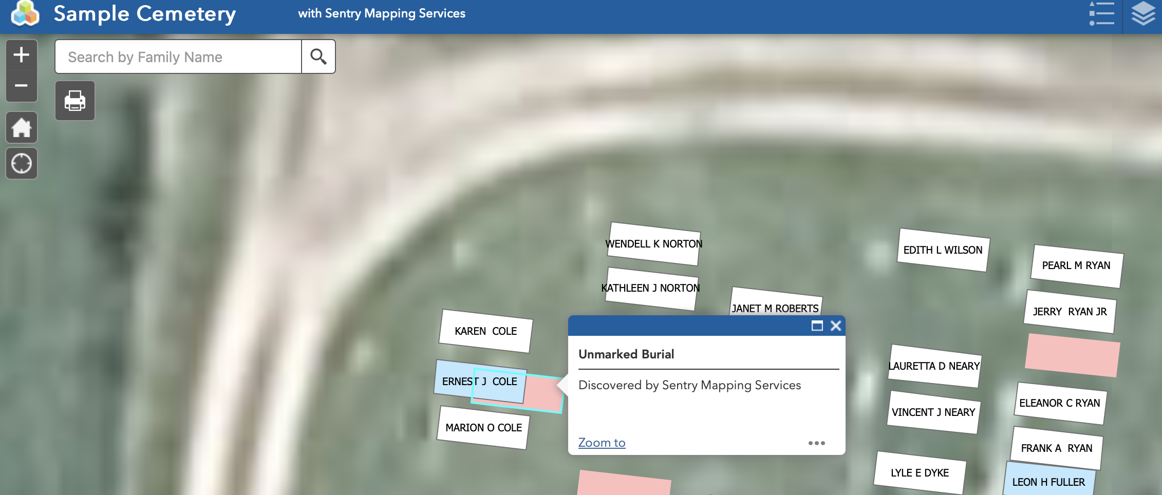
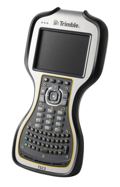
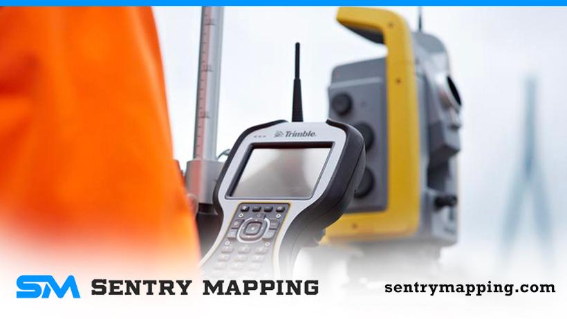
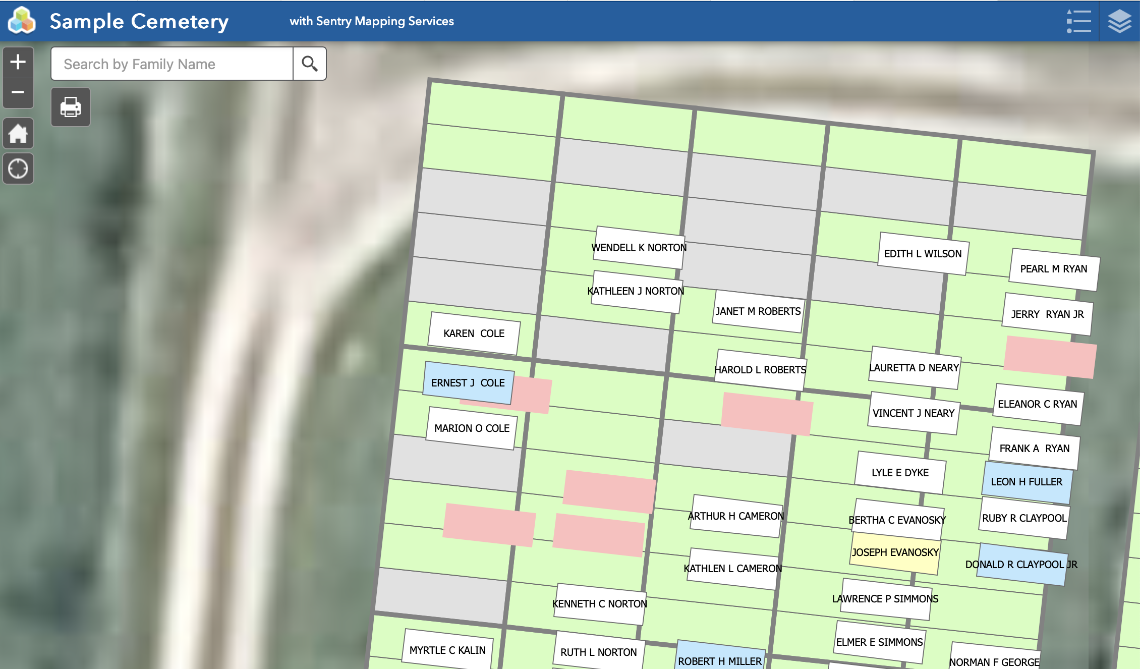
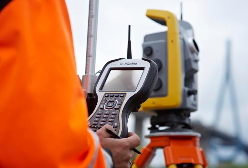
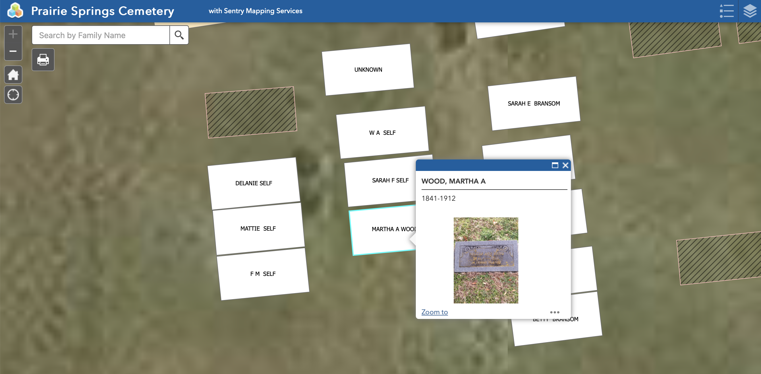
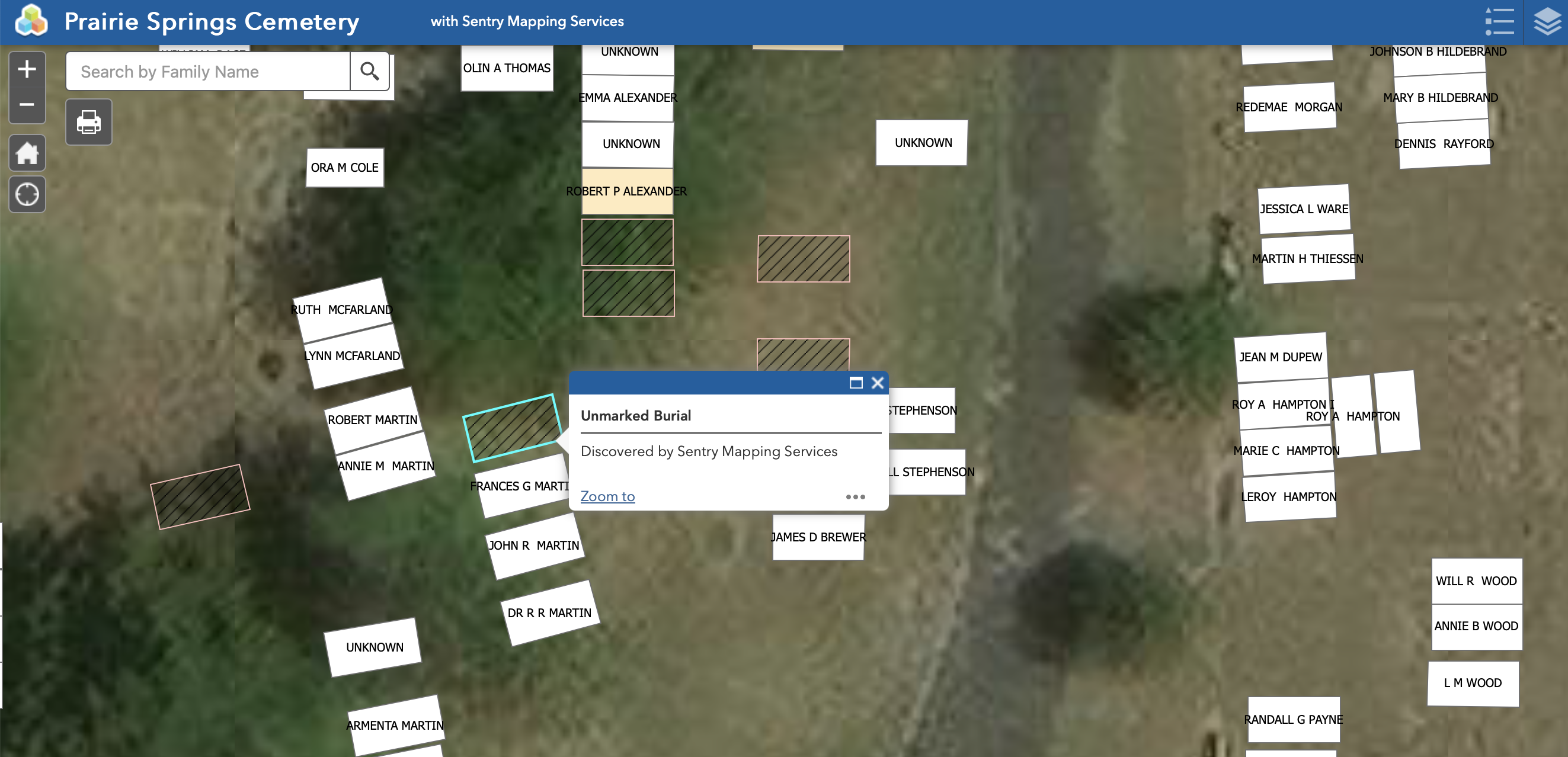
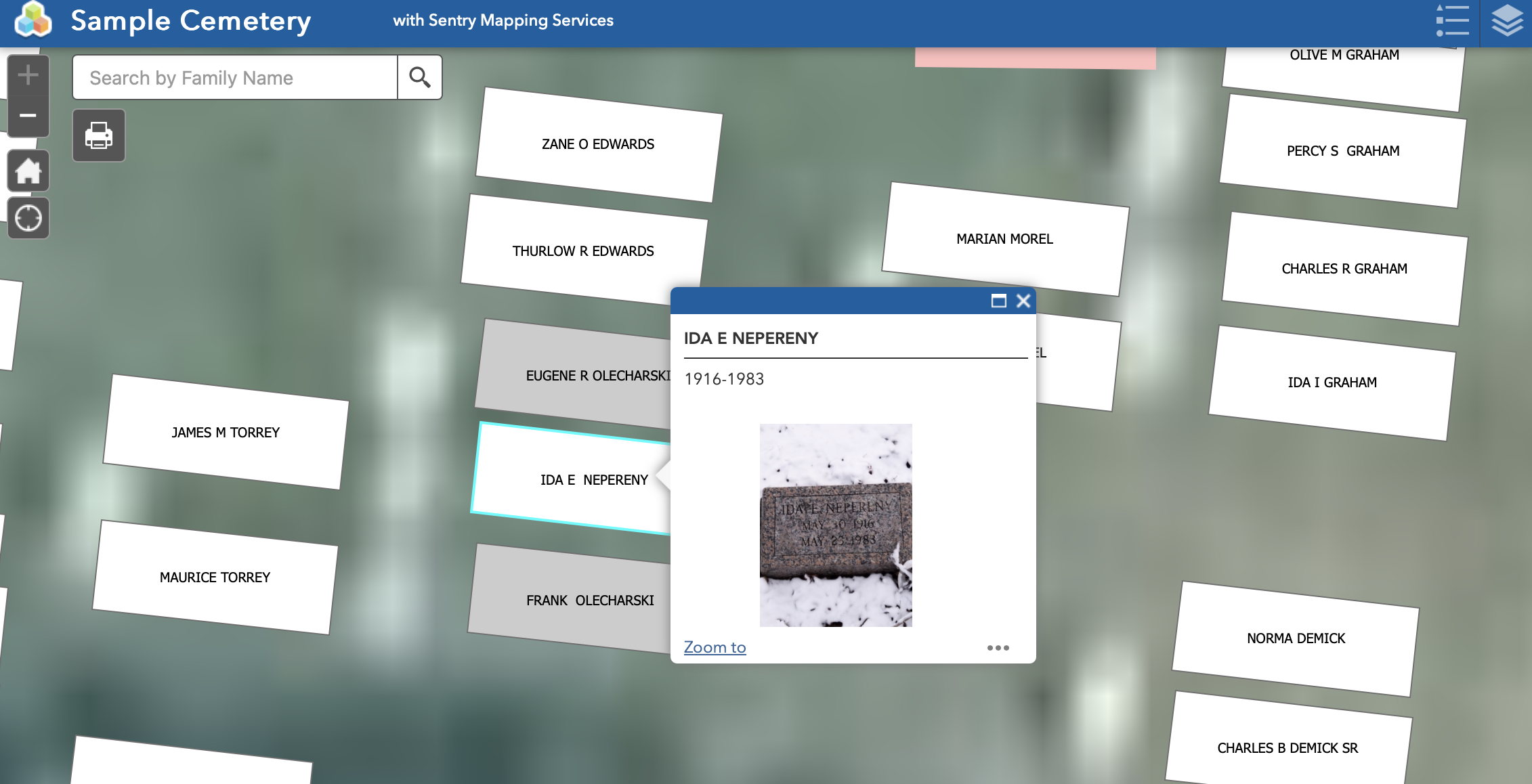
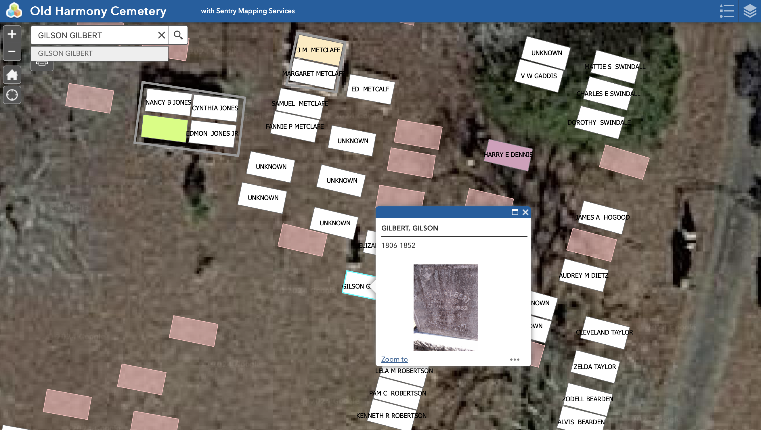
Underground mapping services for cities and cemeteries. Sentry Mapping uses Ground Penetrating Radar (GPR) and GPS to perform subsurface mapping services from subsurface utility locating to cemetery plot mapping. Serving all 48 contiguous United States.
GPR Professional Services for Cities & Cemeteries
We exist to make your job easier. We use the most modern GPR and GPS technology to provide exact renderings of your cemetery or as-built maps of municipal underground infrastructure. Sentry can give precise locations of known and unknown burials.
Images

Frequently Asked Questions
Which days is Sentry Mapping open?
Open on Monday, Tuesday, Wednesday, Thursday, Friday.
Attention business owner!
Register your business now and enhance your global reach with iGlobal.
Copied to clipboard!